Starkville, Mississippi, USA
February 5, 2015
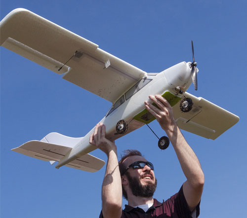
Lee Hathcock, a researcher and doctoral student at Mississippi State University, launches a Robota Triton unmanned aerial vehicle. (Photo by MSU Media Affairs/Beth Wynn)
Mississippi State University researchers are preparing for the day when unmanned aerial vehicles, commonly known as drones, can be used commercially in agriculture.
Their size, cost and capabilities make UAVs useful for a wide range of jobs. Some MSU researchers are already using these vehicles, and many others are examining their potential applications.
Bobby Golden, a Mississippi Agricultural and Forestry Experiment Station researcher, is one of the university’s scientists interested in using UAVs in their studies. He would like to fly a camera on a drone to get instant, aerial views of his research fields.
“It would be very nice to use one when we are scouting fields for nutrient deficiencies,” Golden said. “You could overlay a soil map of the field with an overhead view and use different camera filters to detect the color of the crop, which has the potential to indicate nutrient issues in a field.”
A flyover could identify problem spots in extremely large fields, and then researchers, crop consultants or farmers could go to the identified areas and examine them carefully to make proper diagnoses.
“To get an aerial image now, you have to line up an airplane and wait on them to fly over your field,” Golden said. “It’s expensive, and there can be delays in getting the information.”
While capturing aerial images presents unique challenges, it can be nearly impossible to scout an entire field on foot. Scouting relies on collecting enough information from sampled areas to assume the facts are generally representative of an entire field. A flyover with a UAV would show whether the scouted area is truly representative of the entire field.
“This is an additional tool to put in the researcher’s, grower’s or consultant’s toolbox to help make proper in-season management decisions,” Golden said.
Don Respess, MSU Extension Service county coordinator in Coahoma County, said he sees potential applications for UAVs in his work with producers. He compared the information gathered by soil-moisture sensors to the information that could be gathered by drones.
“I think anything we could get that would help growers by providing additional information is a good thing,” Respess explained. “Just like what we’re doing working with water sensors belowground, we could use something to look at the crop from above.”
Angus Catchot, Extension entomologist, is interested in payload potential of drones, in addition to their ability to offer a different view of a field.
“China is already using drones to make ultralow-volume insecticide applications to fields,” Catchot said. “They are easy to fly, and there are many potential uses for UAVs.”
Technology already exists to allow producers to make very specific chemical applications to their fields with farm equipment. UAVs can help them target these applications even more precisely.
“If I can take a real-time photo 100 feet over a field, upload that information to my computer and identify crop vigor issues of the field, I can quickly make an on-the-go prescription to my sprayer to put out a certain rate of farm chemical,” Catchot explained.